Five days in Boston without a car
This itinerary covers downtown Boston, Cambridge, and one out-of-town day at Salem, all on foot, on the T, and on the separate MBTA Commuter Rail network. A car buys nothing extra here: parking in Boston runs high, most sights sit inside a compact core, and the train to Salem is faster door-to-door than driving and finding a spot near downtown. Pack comfortable shoes — this is a walking week.
Getting oriented before Day 1
Two systems do the work. The T, run by the MBTA, covers the Red, Green, Orange, Blue, and Silver lines within the city and to Cambridge; it does not run 24 hours a day, so check the last train if you’re out late. The Commuter Rail is a separate network with its own ticketing, used here once, on Day 4, to reach Salem — it is not the same card or fare system as the T. Neither this guide nor the MBTA site prices out a specific fare here; check current fares and schedules at mbta.com before you go, since they change.
Day 1: The Freedom Trail and the North End
Start at Boston Common, the oldest public park in the country and free to enter any day of the year. From here the Freedom Trail is not a single site but a roughly 2.5-mile (4 km) walking route marked by a painted or brick red line in the sidewalk, linking 16 sites from the Common to Bunker Hill in Charlestown. Following the line costs nothing; some of the individual stops along the way, including the Old South Meeting House and the Old State House, sell their own admission tickets, while others are free or donation-based. Budget the morning for the stretch from the Common through the Massachusetts State House area and down to Faneuil Hall, a working marketplace since the 18th century and a good lunch stop.
In the afternoon, walk into the North End, Boston’s Italian neighborhood and the densest concentration of bakeries and trattorias in the city — not to be confused with the Financial District, which borders it. This is also where the Freedom Trail passes the Paul Revere House and the Old North Church before crossing toward Charlestown. Cannoli lines at the well-known bakeries can run long in the evening; going mid-afternoon avoids the worst of it. If you want the history with a guide rather than working it out from a map, a self-guided walk works fine for a first pass; a guided version fills in context a plaque won’t.
For dinner, stay in the North End — it’s the strongest food neighborhood on this itinerary, and you’re already there. A food-focused walk is worth booking if you’d rather taste your way through than pick a restaurant cold.
Day 2: Beacon Hill, Back Bay, and a rooftop view
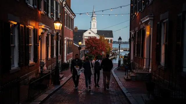
Morning belongs to Beacon Hill, the brick-and-gaslamp residential district just north of the Common. It’s small enough to cover on foot in a couple of hours — narrow lanes, Acorn Street, and the golden dome of the State House at its edge. There’s no admission to walk the neighborhood itself; a couple of house-museum stops along the way do charge.
After lunch, take the T (Green Line) toward Back Bay, Boston’s grid of 19th-century brownstones built on land reclaimed from the Charles River tidal flats. Newbury Street runs the shopping and café strip; Commonwealth Avenue’s mall is a quieter parallel walk. The neighboring South End, distinct from Back Bay though often grouped with it, has its own strong restaurant scene if you want to wander further before the day winds down. A history-focused walk through this part of the city, framed around the women’s suffrage movement, adds context most guidebooks skip:
a Votes for Women walking tour through Back BayEnd the day at the Prudential Center’s skywalk for a view over the city at dusk — it’s a paid ticket, and worth timing for sunset rather than midday, when the light is flatter.
Day 3: Cambridge — Harvard, MIT, and the Charles
Cambridge is not a Boston neighborhood; it’s a separate city on the other side of the Charles River, reached by the Red Line to Harvard station. Spend the morning in Harvard Yard and Harvard Square, where the university’s bookstores and museums cluster — the Harvard Museum of Natural History is the pick if you only have time for one. A guided walk run by current students tends to surface details a self-guided loop misses:
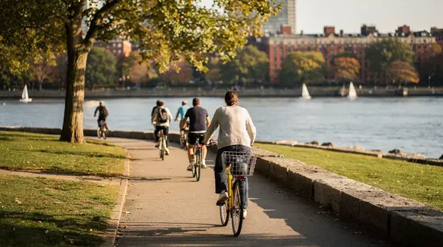
a Harvard campus tour led by current studentsIn the afternoon, walk or take the Red Line one stop to Kendall/MIT and follow the Charles River path along the MIT campus — the river separates the two schools by only a few blocks. If you’d rather see the river than walk beside it, an evening cruise is an option before heading back:
a sunset cruise along the Charles RiverReturn to Boston on the Red Line; it’s a direct ride back into downtown with no transfer needed.
Day 4: Salem by Commuter Rail
This is the one day this itinerary leaves the city, and it runs entirely on the MBTA Commuter Rail — a different ticketing system from the T, bought separately. Aim to catch a train from North Station between roughly 8 and 9 a.m.; the ride to Salem takes about 30-35 minutes. Commuter Rail frequency to Salem drops on weekends, so check the current schedule at mbta.com before you fix a departure time — don’t plan around a train time this guide hasn’t verified for your travel date.
From Salem’s station, it’s a 10-15 minute walk into the historic center. Salem is built almost entirely around the 1692 witch trials, and the walkable downtown covers most of what draws people there — the Salem Witch Trials sites, the Peabody Essex Museum, and the waterfront. If you’re visiting in October, know before you go: this is the single busiest month of the year in Salem, driven by the month-long Haunted Happenings festival, not a quiet time to see the town.
Spend the afternoon at the Salem Maritime National Historic Site, a working reminder that Salem was a major port before it became a byword for the trials, and along the harbor. A guided overview that pairs Salem’s history with the witch-trial sites works well if you’d rather not piece the town together yourself:
a guided Salem witch trials walking tourHead back to North Station in the late afternoon — build in buffer before your return train, since weekend service runs less frequently and a missed departure can mean a real wait. Details on the route and schedule pattern are in the Salem day trip guide and the broader Commuter Rail day trips guide.
Day 5: Boston Harbor and the Seaport
Your last day depends on the season. From roughly spring through early fall, Boston Harbor’s island ferries run regularly, and a morning on the water is the best way to see the city from outside it:
a ferry out to the Boston Harbor Islands
Outside that window, or if the ferries aren’t running the day you’re there, fall back on the Seaport District instead — walkable from downtown or a short Silver Line ride, and home to the Institute of Contemporary Art, which sits right on the harbor and doesn’t depend on the weather. Either way, the afternoon works well as an open block: revisit a North End bakery, walk the Freedom Trail’s Charlestown end if you skipped it on Day 1, or just sit by the water before an evening flight or train out.
Five days, day by day
| Day | Focus | Transport |
|---|---|---|
| 1 | Freedom Trail (Common to Faneuil Hall), North End | Walking |
| 2 | Beacon Hill, Back Bay and Newbury Street, Prudential Skywalk | Walking, short T ride |
| 3 | Harvard Yard, MIT, Charles River | T (Red Line) |
| 4 | Salem: witch trials history, Salem Maritime | MBTA Commuter Rail |
| 5 | Boston Harbor Islands ferry, or Seaport/ICA as backup | Ferry or Silver Line |
What this itinerary doesn’t cover
Five days without a car keeps you inside Boston and Cambridge plus one train day trip; it doesn’t reach Cape Cod, the islands, or the North Shore beyond Salem, all of which need more time or a different transport plan. If a future trip adds days, Boston Harbor Islands and a longer North Shore loop are the natural next additions before considering a car.
FAQ: five days in Boston without a car
Do I need a car for this itinerary?
No. Every stop is reachable by walking, the T, or the MBTA Commuter Rail, which is a separate system used once, on the Salem day.
Is the Commuter Rail the same as the T?
No — they’re two different networks with separate ticketing. The T covers the Red, Green, Orange, Blue, and Silver lines inside Boston and to Cambridge; the Commuter Rail reaches suburban destinations like Salem and uses its own ticket, not a T card.
How long does the train to Salem take?
Around 30-35 minutes from North Station on a direct Commuter Rail train, followed by a 10-15 minute walk into Salem’s historic center. Always check the current schedule at mbta.com before you go — weekend frequency runs lower than on weekdays.
Is Cambridge part of Boston?
No. Cambridge, home to Harvard and MIT, is a separate city across the Charles River, reached from downtown Boston by the Red Line.
Should I avoid visiting Salem in October?
Not necessarily, but go in with the right expectation: October is Salem’s busiest month by far, driven by the Haunted Happenings festival running the whole month, not a quiet time to see the town.
What if the harbor ferries aren’t running on Day 5?
The Boston Harbor Islands ferries are seasonal, generally running spring through early fall. Outside that window, the Seaport District and the Institute of Contemporary Art make a solid weather-independent substitute.
Is the Freedom Trail itself free?
Following the marked route is free from end to end. Several of the 16 sites it connects, including the Old South Meeting House and the Old State House, charge their own admission; others are free or donation-based.
Can I fit this itinerary into fewer days by skipping Salem?
Yes — dropping Day 4 leaves a solid four-day Boston-and-Cambridge trip, though you’d lose the only day trip and the one use of the Commuter Rail in this plan.
tours.5 days
Verified deep-linked GetYourGuide tours. Book through these links and we earn a small commission at no cost to you.
GetYourGuide does not provide a product photo for this activity — the image shows the meeting point, photographed by us.